I’ve done a lot of fabulous hikes in New York, and if you’re looking for a relatively easy hike that’s both beautiful and has some historical interest, the Mongaup River Trail is a fantastic option.
The Mongaup River Trail follows, unsurprisingly, the Mongaup River, as it cascades towards the Delaware River, which sits just beyond the trailhead for this hike. This river marks the separation point between Sullivan County in the Catskills region and Orange County in the Hudson Valley region of New York, with the hike being on the Orange County side of the river.
This trail is a two-mile out-and-back hike that follows closely to the river and ends at an isolated historic cemetery with graves over 200 years old. There is a bit of elevation gain, but the trail is never very steep and often 6-8 feet wide, which makes it a great hike for just about anyone.
Parking for the Mongaup River Trail
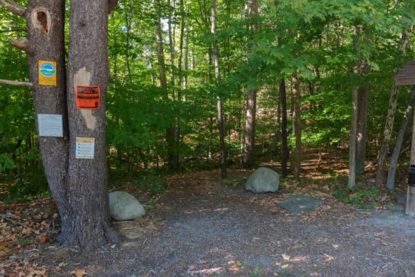
The trailhead for the Mongaup River Trail can be found along NY-97, a beautiful road that runs along the Delaware River. In fact, about two miles south of this trailhead, the road passes an area known as the Hawk’s Nest just north of Port Jervis. This section of road is considered by many to be one of the most beautiful roads in all of New York.
If you approach this trail from the north, I definitely recommend continuing to drive this road south for a few minutes further to check out this incredible area.

There is a parking area along NY-97 that is big enough for a handful of cars and can be found at the following coordinates: 41.427057, -74.755401.
This parking lot is adjacent to the bridge over the Mongaup River, and you can’t miss the well-marked trailhead within this small lot. Just note that the trailhead doesn’t say “Mongaup River Trail” anywhere on it as of September 2022 despite being an obvious trailhead.
Please note that the Mongaup River Trail is closed each year from December through March to help protect unnamed endangered species.
Hiking the Mongaup River Trail
Start at the trailhead adjacent to the large information sign. This sign has some interesting information on the area and the Mongaup Valley Wildlife Management Area, which is the designation of the land surrounding the river (even though this trail, for some reason, doesn’t appear on the area’s map).
As soon as you start hiking on the trail, you’ll see the ruins of a D&H Canal sluice in the woods adjacent to the trail. This was used to control water levels for the canal that ran along the river and used the Mongaup River to help ensure the canal was at the proper level.
While the underbrush here makes it hard to get a close look at the ruins, it’s still neat to see this piece of history along the trail.
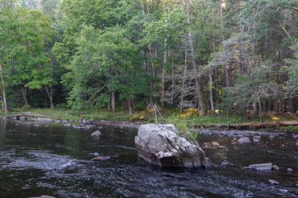
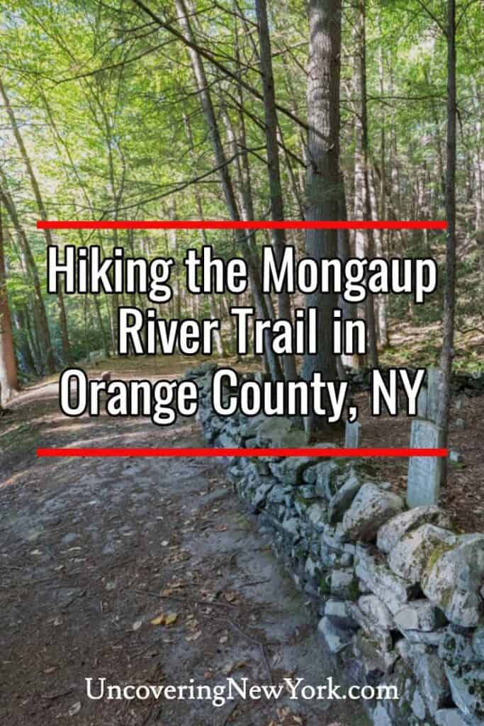
Once you pass the sluice ruins, the trail will reach the banks of the Mongaup River. For the rest of the hike, the rail never strays far from the river as it stays along its eastern bank. The trail is unmarked but easy to follow.
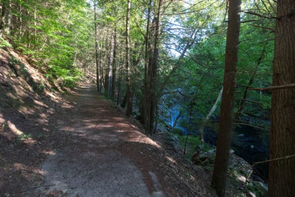
For most of the hike, the trail is about 6-8 feet wide and undulates as it follows the river away from the Delaware River. This area is generally uphill but is never steep and is an easy hike despite a few rocky spots. However, note that the trail is a bit above the creek, so make sure to use care on the river side of the trail.
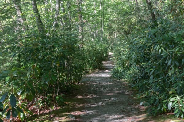
This also means that access to the creek isn’t great. That being said, there are a few spots where you can easily get to the water if you are looking to check out this beautiful waterway.
Since this hike isn’t overly difficult, it’s a very pleasant walk through the woods with the sounds of the river cascading over small rapids accompanying you as you hike.
After about seven-tenths of a mile of hiking, the trail branches away from the main part of the river and appears like it’s following a tributary of the Mongaup River. Instead, this is actually just the eastern flow of the river around an island.
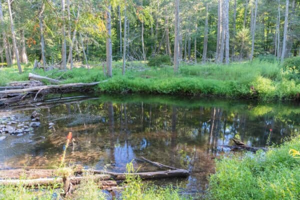
However, because this isn’t the main channel, the landscape does change here, which adds some nice variety to the hike.
After about a quarter-mile, the trail reconnects with the main branch of the Mongaup River, shortly before the trail ends at a historic cemetery. (At the following coordinates: 41.436966, -74.755715.)
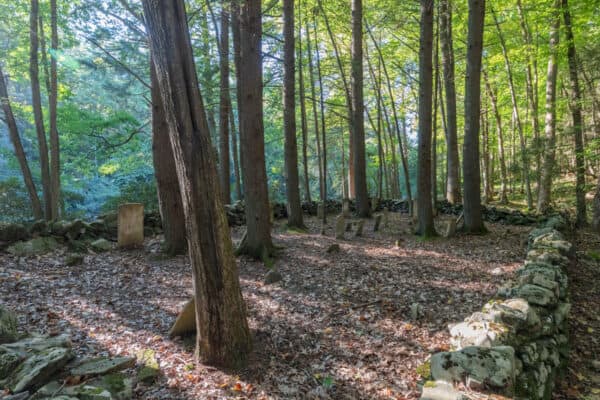
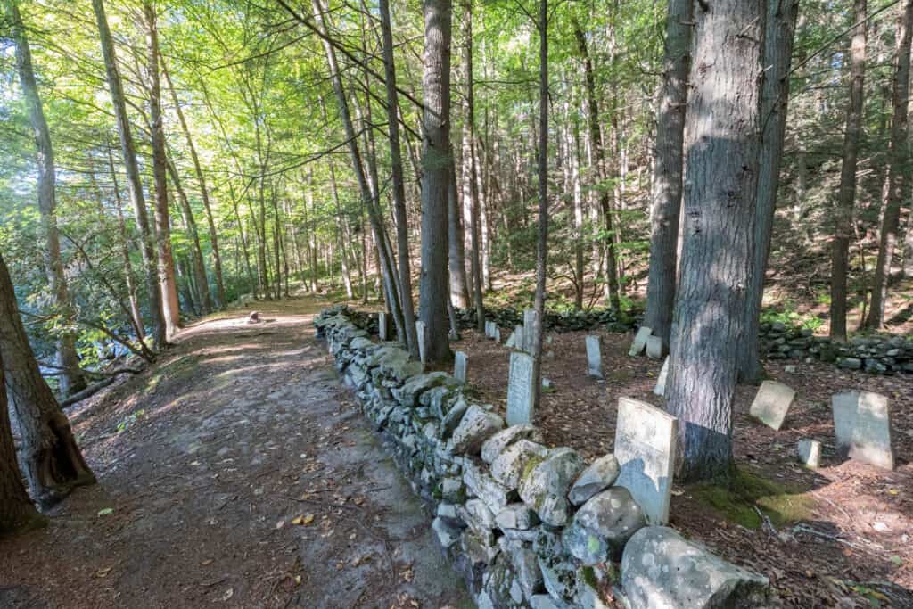
This cemetery, which you can’t miss, sits along the banks of the river in an incredibly beautiful spot. This approximately 25-foot by 50-foot cemetery is surrounded by a very old stone wall, really adding to the ambiance here.
Depending on the source you look at, this is either known as the Knight Cemetery or the Lower Mongaup Cemetery.
There are several dozen graves here and some of the tombstones are still legible. Most of the burials I saw here are from the 1820s, though I did see one from 1816 and one as late as 1850.
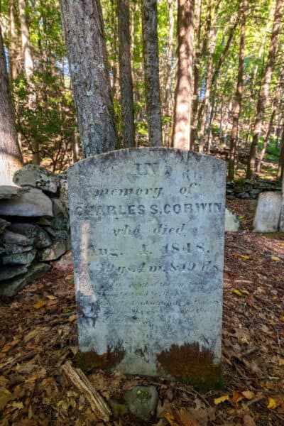
I really enjoyed looking at the gravestones here and found this setting alone in the woods and not particularly close to a road, to be quite peaceful and beautiful. Please make sure to keep it this way when you visit and remember that this is the final resting place of human beings.
Once you’ve finished checking out this cemetery, you’ll want to turn around and follow the trail downstream for the mile-hike back to your vehicle.
Overall, I found the combination of beauty and history made my hike along the Mongaup River Trail a really fantastic time in the woods. If you are looking for a great hike in the southwestern Catskills or the northwestern Hudson Valley, this is a trail you won’t want to miss.
Again, note that the Mongaup River Trail is closed each year from December through March to help protect unnamed endangered species.
Looking for more things to do nearby? Check out the Fort Delaware Museum, the Tri-States Monument, and the Minisink Battleground Park.


I was wondering, was their any van auken in the cemetery.
Not that I recall noting, but I couldn’t read all the gravestones.
I’ve looked closely at those stones, but I don’t recall any Van Aukens. There are several Knights and Corwins.
Wonderful essay, Jim. I used to hike that trail often. It’s incredibly beautiful. If you know where to look, there’s also ruins of an old house and barn in a clearing just before the cemetery. And at this point, too, there’s a path that goes up the hillside away from the river.
And did you happen to see a beaver hutch? There are hundreds of felled trees gnawed down by the beavers.