Located in the southwestern corner of Albany County, New York, you’ll find one of the region’s most beautiful spots: Rensselaerville Falls in the E.N. Huyck Preserve.
The E.N. Huyck Preserve was founded in 1931 and is also home to one of the oldest biological research stations in the United States. Their 2,000 acres of land near Rensselaerville, New York features 12 miles of hiking trails and a beautiful lake. But the highlight, in my opinion, is Rensselaerville Falls.
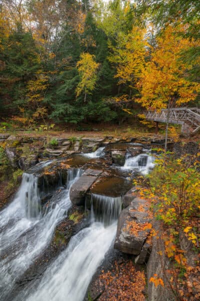
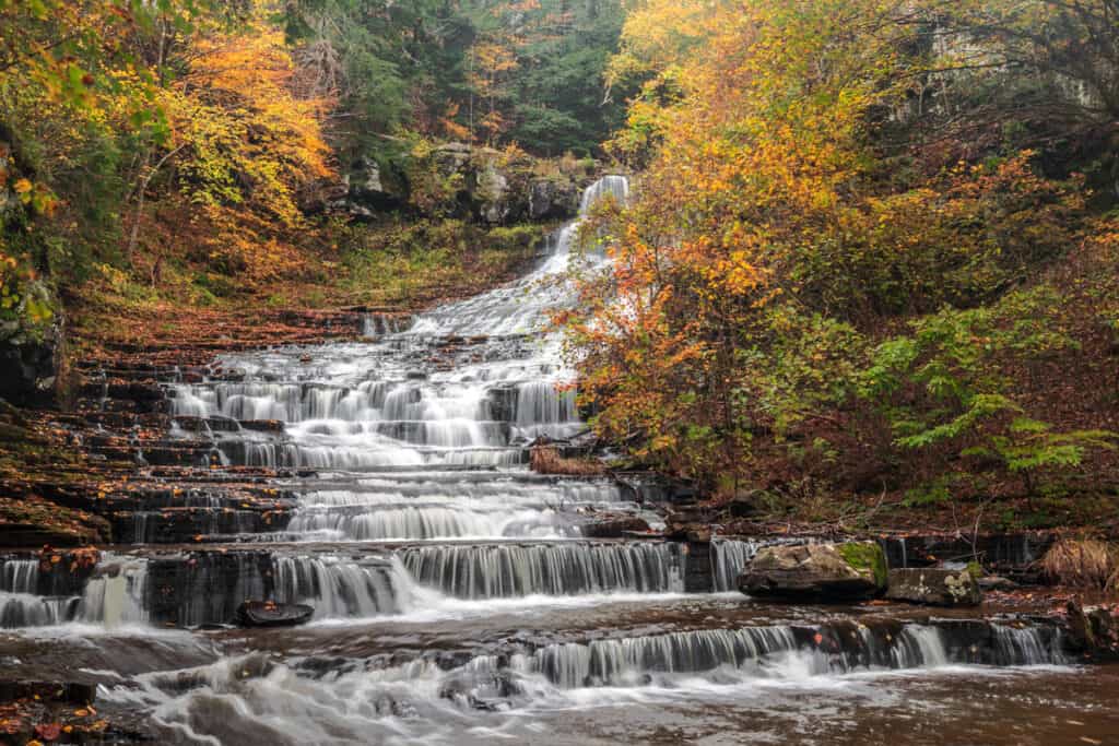
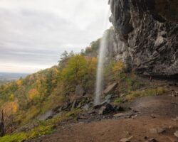
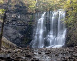
Rensselaerville Falls can be found in the southern portion of the Huyck Preserve and is said to be 120 feet in height. This twisting waterfall features three tiers, typically only two of which are visible from any of the viewing areas.
Here’s everything you need to know to visit this beautiful spot.
Parking for Rensselaerville Falls at Huyck Preserve
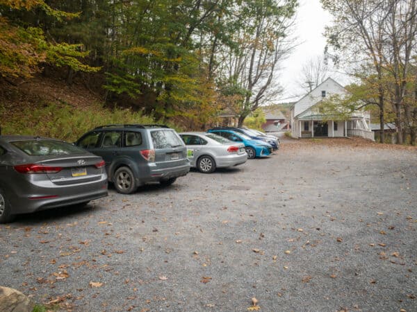
While there are five different parking areas for the E.N. Huyck Preserve, those interested in seeing the waterfall will most likely want to park at the southernmost of these along the Delaware Turnpike.
This spot can be found near this address: 5052 Delaware Turnpike, Rensselaerville, NY 12147. You can also use these coordinates to find the exact spot: 42.515389, -74.139784.
The entrance to the preserve is located directly next to the bridge over Tenmile Creek, though it looks like a gravel driveway for a private home. However, the small sign for the nature preserve will indicate that you are in the right place.
Behind the white building along the street, there is a parking area with room for about a dozen vehicles. On busy days, this lot can fill up quickly, so it’s best to arrive early if you can.
[Click here for information on how to use the coordinates in this article to find your destination.]
Hiking to Rensselaerville Falls
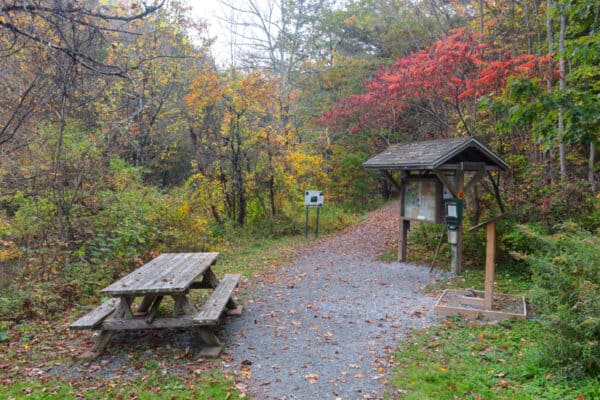
From the parking area, it’s only about a tenth of a mile to the base of Rensselaerville Falls.
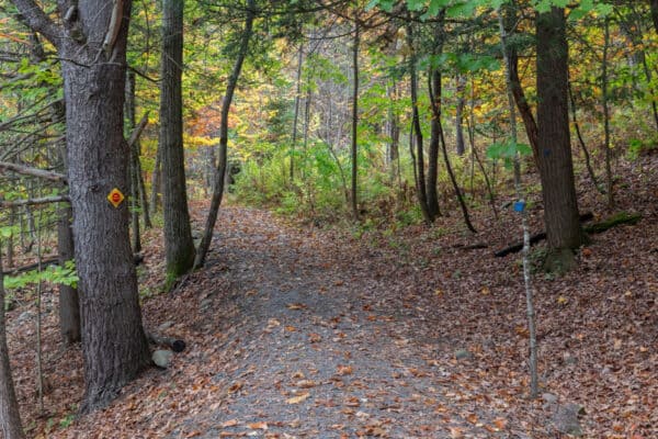
To start your hike, walk past the information kiosk along the only trail that leaves from the parking area. This trail is wet in places but is a relatively flat and easy hike. Unfortunately, a few roots and rocks keep it from being handicap accessible.
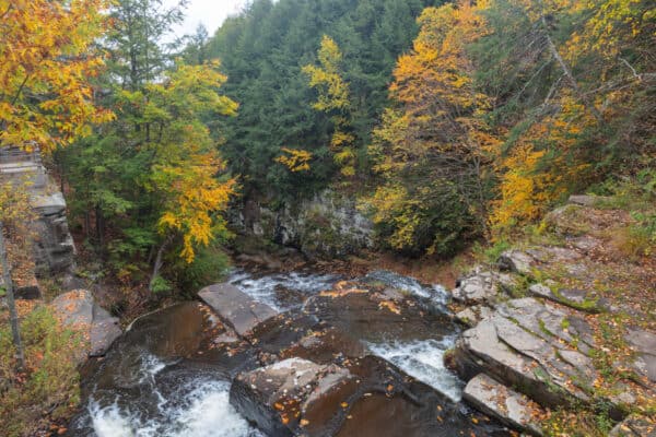
After about a tenth of a mile, you’ll reach a narrow wooden bridge over Tenmile Creek, and a view of the lower portion of Rensselaerville Falls.
The bridge over the creek is quite beautiful and sturdy but is built in such a way that only one person can cross at a time. That makes it a bit difficult to view the waterfall from the bridge if there are others waiting to cross the bridge. However, the views from near the bridge are still quite nice.
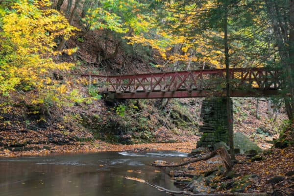
In many ways, this lower viewing area reminded me a bit of the main waterfall in Buttermilk Falls State Park in Ithaca. That’s because the water here is sliding down the rockface in many small drops.
From the lower vantage point, you can only see the bottom third or so of the waterfall as the top part is hidden by the trees and hillside due to a turn in the waterfall.
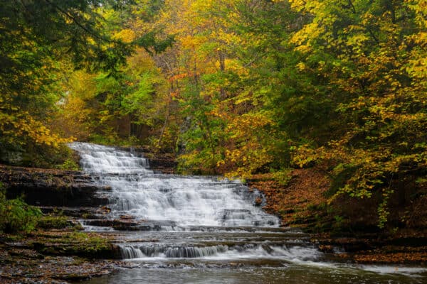
Wanting to see more of the waterfall, I crossed over the stream.
Before continuing further upstream, though, I took a minute to check out the ruins of Huyck Felt Mill, which sat at this spot from 1870 until 1878. This was definitely a neat surprise and was cool to spend a minute looking over the site.
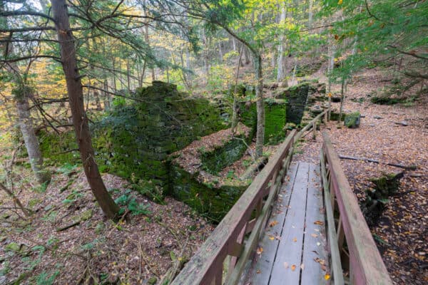
Once across the bridge, you have three different ways that you can hike.
If you head to the left, you can hike a bit downstream, though there isn’t really anything of note here. So, I opted to continue my journey by hiking to the right and heading upstream on the Middle Falls Trail.
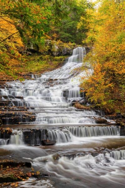
This trail is a bit narrow but is still fairly easy and quite quickly leads to, what is in my opinion, the best view of Rensselaerville Falls. Not only does this spot let you see the upper two-thirds of the waterfall very well, but you can also look behind you and see the lower portion of the falls.
Just be careful here as a slip could send you over the edge of the waterfall.
After you are done enjoying this spot, head back to the bridge and the felt mill ruins. Then, turn to your right to take the trail that continues straight from the bridge.
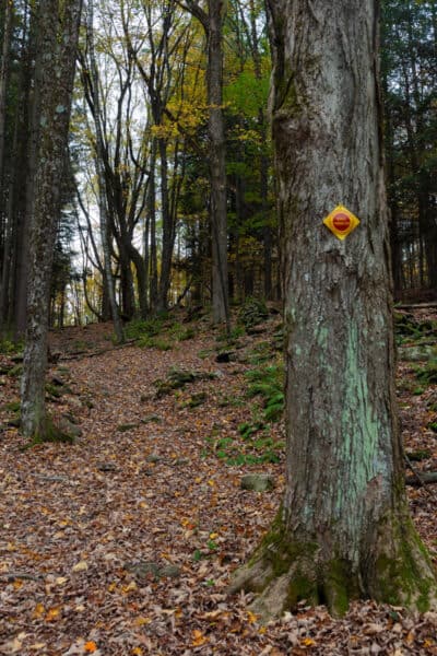
This trail is the Upper Falls Trail and, not surprisingly, leads to the top of the waterfall. The trail is wide and it’s a bit steep, but it’s not overly difficult.
Once the trail reaches the ridgeline, there is a noticeable change in the forest, and the trail meanders its way through the landscape. Eventually, the trail turns into a boardwalk that passes over some wetter areas.
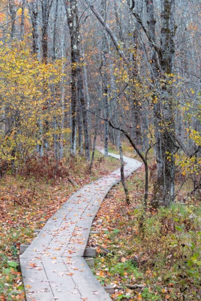
Along this boardwalk, you’ll soon see a trail that heads off to your right. To reach the top of the waterfall, follow this trail on your right for a short distance downhill.
Soon, you’ll come to another narrow wooden bridge over Tenmile Creek that is right above the crest of the waterfall. Cross this bridge while taking a minute to enjoy the great view of the gorge.
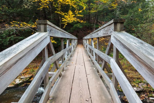
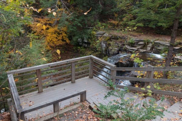
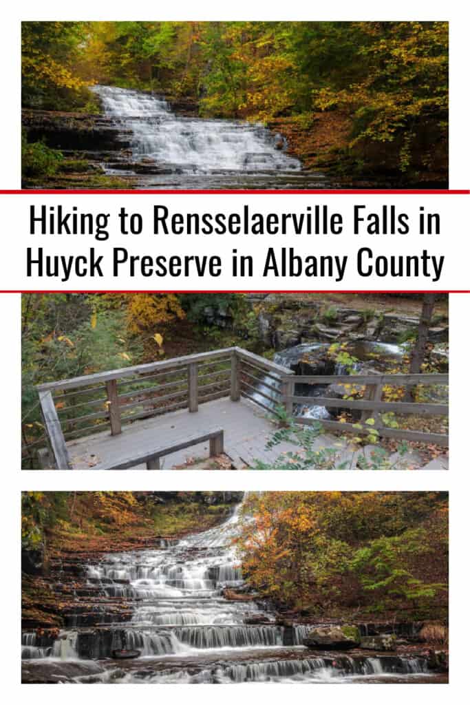
Just across the bridge, you’ll see a small dam to your left and a viewing platform located down a few steps to your right. This will provide you with the best view of the top of the waterfall, though you can only see the top half or so of the falls because of the turn that it makes.
For those that like to use coordinates when hiking, this viewing area can be found here: 42.514927, -74.143828.
From this point, I opted to simply retrace the approximately half-mile hike back to my car. However, there are more than 10 miles of additional hiking trails around this property that you can hike if you are interested.
For example, you could continue to follow the trail beyond the upper viewing platform. This trail encircles Myosotis Lake and is 2.5 miles long, which would give you a 3.5-mile total hike. However, since I haven’t hiked this portion of the trail, I’m unable to comment on it.
Overall, even just considering the one-mile roundtrip hike to the three viewing areas for Rensselaerville Falls and back to your car, this is a fantastic hike and visits one of the most beautiful waterfalls near Albany, NY.
If you are looking for a really neat spot to explore in the Capital Region, make sure to add this spot to your list.
Find out more about the preserve and see a trail map at HuyckPreserve.org.
Looking for more places to visit nearby? Check out the waterfalls in Thacher State Park, Mine Kill Falls, and the covered bridges of Schoharie County.




Very thorough and comprehensive review. Thank you for being detailed about locations. I hate it when people are e vague or leave out important information. Much appreciated. I will be checking this out soon.
I wish there was a way to know current water levels. It’s been so dry this summer. I’d hate to drive 40 minutes only to discover the waterfall has been reduced to just a trickle, which has happened to me before.
I often like to search for waterfalls on Instagram. If you switch to most recent photos, you can often get an idea of current water levels. Doesn’t always works, but can help sometimes.
Thank you so much for sharing this. We will check this out in the spring. Of 2024.
Have fun!