Located in southern Schoharie County, Mine Kill State Park is a hidden gem on the edge of Central New York and the Catskills.
While there are a lot of fun spots to check out in the park (including a free swimming pool), one spot you won’t want to miss is Mine Kill Falls.
Mine Kill Falls is located in the southeastern portion of the park away from the main area that most visitors stick to. While it can be reached from the hiking trails there, it’s much easier to reach the falls from the dedicated parking area off of NY-30. (Full directions at the bottom of this article.)
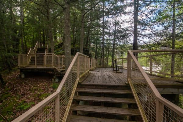
From the parking area, Mine Kill Falls is a short 5-10 minute walk, depending on whether you go to just the upper viewing area or the upper and lower viewing areas.
There are a total of three drops Mine Kill Falls which add up to about 80 total feet.
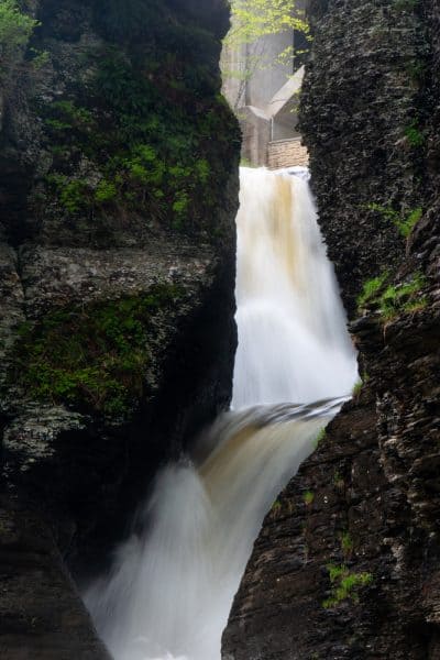
The upper and middle drops can be seen from the upper viewing platform, while the middle and lower drops can be seen from the bottom.
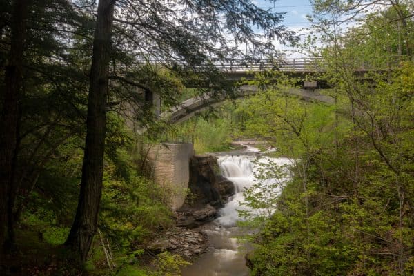
The upper viewing area is a series of platforms that has been built out over the ledge above the waterfall. If it weren’t for this viewing platform, it would be dangerous or impossible to get a view of the upper drop of Mine Kill Falls.
This upper waterfall is about 20 feet in height and falls almost directly under the NY-30 bridge. This drop can be a bit hard to see during the summer months as the foliage between the platform and the falls is a bit overgrown. If you can, visit when leaves aren’t on the trees if you want a good view of this waterfall.
The middle drop of Mine Kill Falls is the largest of the three at approximately 40 feet in height. It drops directly below the end of the platform and while it can be seen from here, views are better from the bottom of the gorge.
Ultimately, the platform at the Mine Kill Falls Overlook is worth checking out if you are there, but if you are able, I highly recommend hiking to the bottom of the gorge as well.
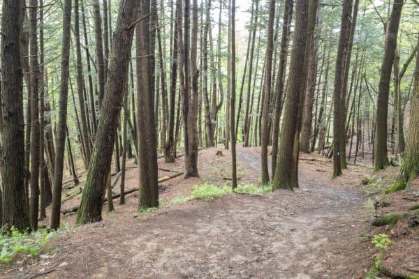
The hike to the bottom only takes about 10 minutes, but it is a bit steep and can be muddy in spots, so make sure to take your time when visiting.
The trail to the bottom is part of the Long Path, which runs 358 miles from New York City to Thacher State Park near Albany. At the bottom of the hill, you’ll see a sign indicating that you are a mere 275 miles from NYC, so if you are looking to extend your hike a bit, this is a good option.
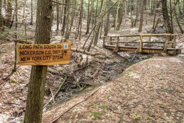
Just to the left of this sign for the Long Path, you’ll see a well-worn path that takes you 50 yards to the base of Mine Kill Falls. A large plunge pool separates you from the falls, but there are still great views here.
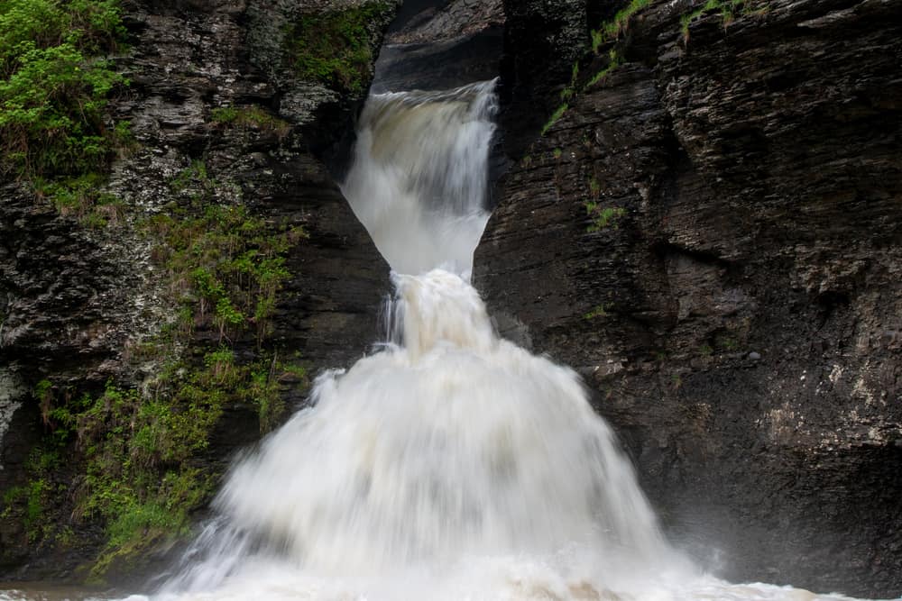
The view from the bottom of Mine Kill Falls is truly spectacular. Cliffs rise 60-70 feet with only a narrow slit carved by the waterfall. The lowest drop, which is about 20 feet tall, crashes through the cavern walls before fanning out near the plunge pool.
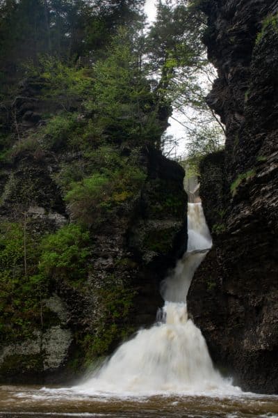
From the bottom, the uppermost drop isn’t visible, but the two lowest drops can be seen well from here.
Mine Kill Falls also had one of my favorite things: a bonus waterfall. I just love it when I go to see a waterfall and there’s another that I didn’t even know about.
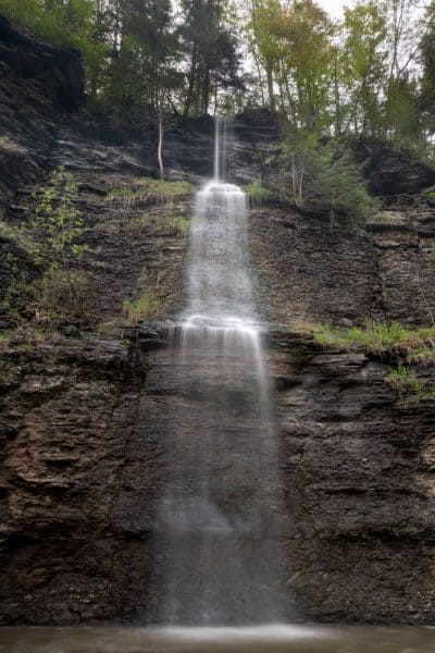
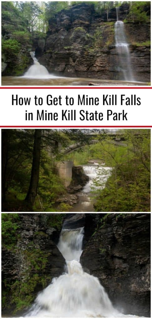
Just to the right of Mine Kill Falls, there is a vernal waterfall that flows 70 feet or so off the top of the cliffs into Mine Kill below. This waterfall flows best during periods of high water but does appear to flow most of the year from other photos I’ve seen online.
This bonus waterfall was a neat surprise, and the chance to see it and Mine Kill Falls in the same view was a real treat.
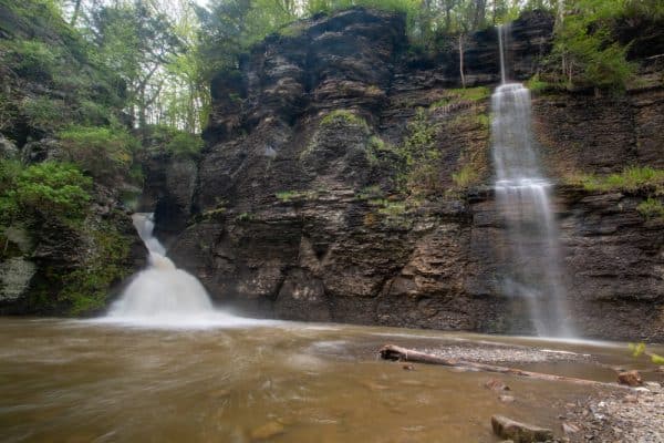
While there are certainly more impressive waterfalls in New York, Mine Kill Falls is a fantastic waterfall that should be on the list of every waterfall lover exploring the area around Schoharie County, New York.
How to Get to Mine Kill Falls
Mine Kill Falls is located in Schoharie County’s Mine Kill State Park near the town of Gilboa, New York.
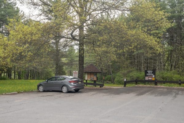
The access for Mine Kill Falls is from a parking area south of the main entrance for the park. It’s marked with a sign that says “Minekill Falls Overlook.” (I’m unsure of the reason for the spelling discrepancy.)
The parking area can be found at the following coordinates: 42.426775, -74.472678.
After parking in the lot, take the one trail from the parking area towards Mine Kill Falls. At the base of a small hill, head straight to go to the platform overlooking the falls or the trail to the right to head to the base of the falls (or better yet do both).
For those that use coordinates in their hiking, Mine Kill Falls can be found at the following coordinates: 42.429337, -74.471385.
Looking for more spots to visit nearby? Check out the covered bridges of Schoharie County, Rensselaerville Falls, Howe Caverns, Kaaterskill Falls, and Tompkins Falls.
[Click here for information on how to use the coordinates in this article to find your destination.]




Hi Jim,
Thanks for sharing your adventures! I have been exploring NYS, for a few years and I can’t get enough so keep those adventures coming!
Thanks,
Fran