Located in the eastern Finger Lakes, Fillmore Glen State Park is an amazing place to visit. While it might not get as much attention as places like Taughannock State Park, Watkins Glen State Park, or Buttermilk Falls State Park, the waterfalls in this park are absolutely stunning.
Fillmore Glen State Park is located in Cayuga County just outside of Moravia, New York. The park is nearly 1,000 acres in size, but most stick to the area around the Gorge Trail and North Rim Trail. In fact, it appears the eastern third of the park doesn’t even have any official trails in it.
If you are looking for waterfalls in the Finger Lakes, Fillmore Glen is a fantastic spot to visit as it is home to a handful of spectacular drops, none of which are overly difficult to see.
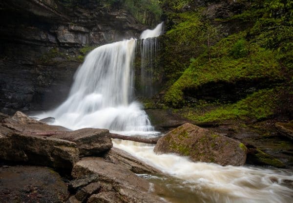
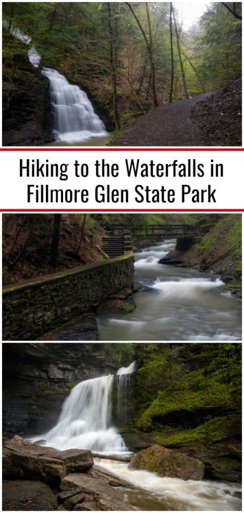
Probably the most well-known is Cowsheds Falls. This waterfall features a 30-foot main drop along with an upper and lower part that makes it about 50 feet in total height. Adjacent to the waterfall is a large rock overhang. It is said that cows would shelter here during storms, which is why this is known as Cowsheds Falls.
Of all the waterfalls in Fillmore Glen State Park, none are easier to reach than this one.
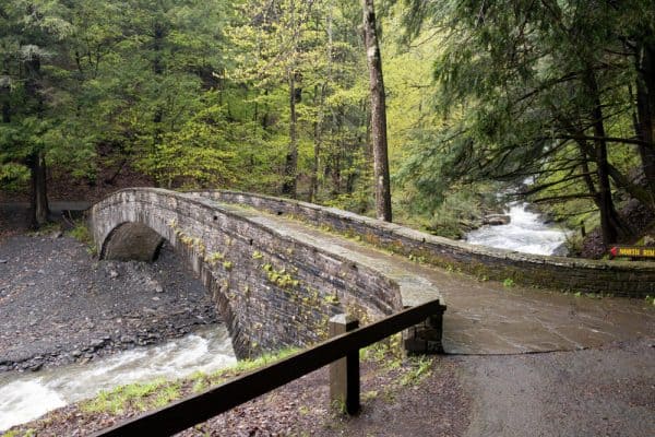
From the large parking area near the swimming area, it’s a short walk, past the natural swimming pool to the start of the Gorge Trail. However, instead of taking the Gorge Trail up the hill (yet), cross Dry Creek and up headstream for a 100 yards or so to a viewing area near the base of Cowsheds Falls.
Once you’ve enjoyed this incredible waterfall, head back the way you came to the start of the Gorge Trail.
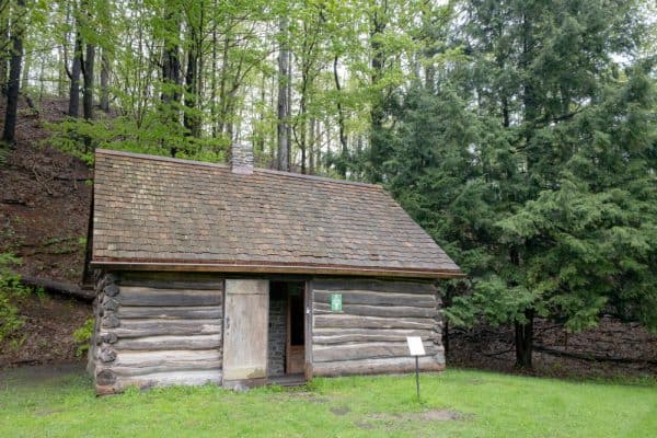
Again, before hiking the Gorge Trail, take notice of the small wooden cabin in the field near the trail. This is a replica of the cabin that President Millard Fillmore was born in near this spot in 1800. His birthplace is located in a county park a few miles away, but this cabin offers a great glimpse into his life. (You can also learn more about this life at the Millard Fillmore House near Buffalo.)
Once you’ve checked out Cowsheds Falls and the Fillmore cabin, it’s time to head back to start the Gorge Trail.
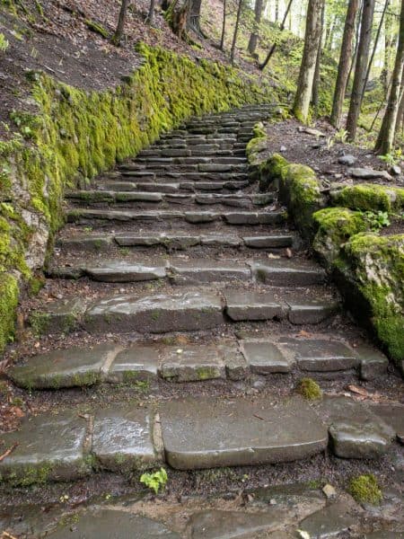
The Gorge Trail is 1.3 miles long, making it one of the longer gorge trails in the region, but it is definitely easier than many similar trails.
The Gorge Trail starts with a steep climb up a flight of old stone stairs climbing 150 feet or so fairly quickly. However, once at the top of this hill, the trail levels out, and it’s a fairly easy hike the rest of the trail.
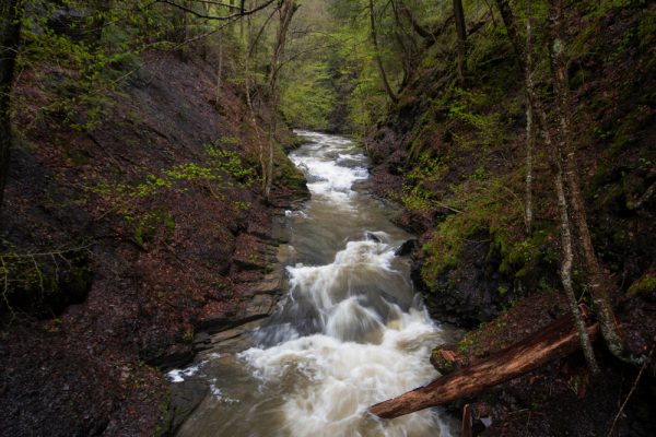
The Gorge Trail at Fillmore Glen is a bit different than other gorge trails in the Finger Lakes because there aren’t a significant number of waterfalls along the trail. However, there is a lot of amazing scenery to be seen.
One fantastic waterfall on the Gorge Trail is best during periods of pretty high water and isn’t on the park map. This waterfall is actually along a side stream that flows into Dry Creek on the second half of the Gorge Trail.
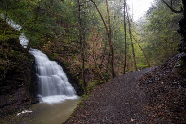
When this waterfall is flowing well, it is absolutely incredible as it cascades at least 60 feet down the hillside before a final drop of 20 feet or so into the creek below.
According to my research, I believe that there may be another nice waterfall on Dry Creek near the end of the Gorge Trail. Unfortunately, on the day I visited, the Gorge Trail was closed near the end, so I was unable to complete the trail and find out. However, if you can hike to the end of the trail, I highly recommend it.
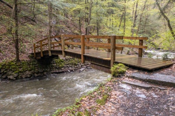
Before leaving Fillmore Glen State Park, there are two more waterfalls worth taking the time to see.
While you can hike the South Rim Trail and the North Rim Trail to these waterfalls, it’s faster to head back to your car and drive to the other end of the trails
Fillmore Glen Drive (Called Park Drive on Google Maps) heads up the hill from the main parking area. After 1.5 miles, the road ends at a parking area next to a trailhead. The road is a bit rough, but I was able to do it without issue in a sedan.
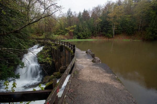
The trailhead here is where the North Rim and South Rim Trail meet. Follow the North Rim Trail downhill. Soon, you’ll pass a shelter. Continue hiking down to a small lake at the bottom of the hill.
This lake is incredibly beautiful, and when I visited on a rainy day in May, I stopped here for a while to watch a beaver swimming around the lake.
The path over the lake is actually the rim of the dam. The trail is wide, but there is no barrier on the lake side of the path, so use caution.
The waterfalls created by this dam are quite stunning, and it’s well worth taking a minute to enjoy the roughly 30-foot waterfalls here even if they aren’t natural.
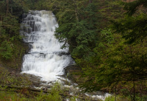
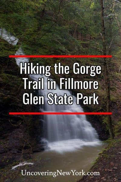
Continue on the North Rim Trail for just a few minutes before another incredible waterfall comes into view. This is the uppermost natural waterfall on Dry Run and is approximately 60 feet tall. The waterfall’s location in the gorge makes it only visible from a distance, but there’s a nice overlook from which you can view the falls without leaving the trail.
Overall, Fillmore Glen State Park is definitely a fantastic destination for waterfall lovers. Whether you are spending time in Cayuga County, looking for more places to visit after exploring the waterfalls near Ithaca, or are simply looking for somewhere fun to visit in the Finger Lakes, Fillmore Glen is a fantastic destination.
How to Get to Fillmore Glen State Park
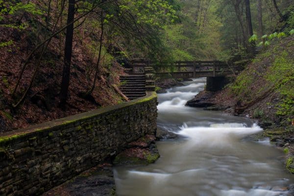
Fillmore Glen State Park is located in Cayuga County, just outside of Moravia, New York.
The parking area for Cowsheds Falls and the start of the Gorge Trail can be found at the following coordinate: 42.698841, -76.416350.
From here, simply walk past the large building (taking note of the Millard Fillmore birthplace cabin replica on your right) and head towards the trails and waterfalls.
For the upper parking area, use these coordinates: 42.691301, -76.393617.
From here, follow the trail downhill, over the dam, and to the lookout for the upper falls at Fillmore Glen.
Note that from early May through mid-October, there is a $8 charge per car on select days at Fillmore Glen State Park.
Looking for more places to visit nearby? Check out the Harriet Tubman House, the Homeville Museum, Tinkers Falls, and Ludlowville Falls.
[Click here for information on how to use the coordinates in this article to find your destination.]


